
Dubai driving guide
A practical driving guide to Dubai roads
Interchanges, Salik gates, parking entrances and the official location systems that fix the last two hundred meters.
Start with the interchangesWhy Dubai is harder to navigate than it looks
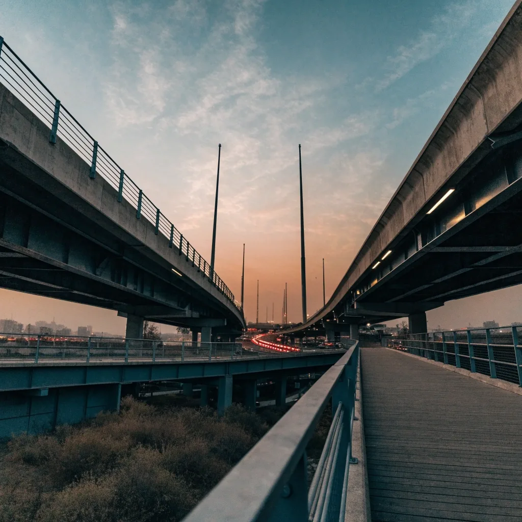
The difficulty is not the number of roads. It is how they layer. A multi-level interchange can put your exit on a different level from the one you are on, and lane guidance that arrives late leaves you taking the wrong ramp. Service roads run parallel to main arteries and connect in ways that are easy to miss the first time.
Then there is the destination problem. Towers and malls often have entrances that do not match their street address, and a navigation pin can land you on the wrong side of the building. Good route planning in Dubai means solving the last two hundred meters, not just the highway.
Reading the road
Interchanges: reading the signs before the ramp
The large interchanges are where most wrong turns happen. The habit that helps is to look at the exit number, not just the lane diagram. Exit numbers appear on signage before the junction and stay consistent, while lane guidance can change shape as you approach.
Track the exit number
Fixes: Wrong-ramp recoveries on stacked flyovers
Act: From the first signage, well before the split
Fails: You read a lane diagram that redraws itself
Take the early lane
Fixes: Late lane changes in peak traffic
Act: Two kilometres out, not at the last moment
Fails: The queue leaves no gap for one more car
Keep the service road in mind
Fixes: Missed connections behind the main artery
Act: When your destination front door sits on one
Fails: You only follow the highway line on the screen
Give the whole approach
Fixes: Detours that cost more than the exit
Act: From the moment guidance first appears
Fails: You treat the split as the decision point
Traffic around interchanges during peak hours does not leave room for a late lane change, and being in the correct lane well before the split is the difference between a smooth exit and a detour.
Toll gates and car parks
Salik, parking structures and the last two hundred meters
Salik is Dubai's road toll system, and gates sit on major corridors around the city. They affect route choice more than they affect cost. An app may route you onto a tolled road for a small time saving, which is fine if you accept it and less fine if you did not plan for it.
Most navigation apps let you avoid tolls in their route settings. Decide your preference once and set it, rather than reacting to each suggestion. If you cross gates regularly, know which corridors carry them so a route suggestion does not surprise you.
-
01
Set the toll preference once. Toll avoidance is a personal choice — it can add time on the alternative. Pick your setting before the trip, not at the gate.
-
02
Learn your corridor. If your regular route carries a gate, you stop being surprised by it and start planning the day around it.
-
03
Check the ramp, not the street. A mall may have several parking entrances, each connecting to a different part of the building. Arriving at the wrong one in a car park can cost more time than the drive.
Before a large complex
Use a location code or a saved pin instead of a name. If the destination is a tower or a mall, check which entrance the app is routing you to before you commit to the ramp.
Precise locations
Makani: Dubai's location code system
Makani is Dubai's location system for searching places and determining locations. It assigns codes to buildings and addresses so you can share a precise point instead of a vague description. UAE government pages note that it helps with trip planning without needing to connect to the internet, which makes it useful when signal is weak.
Working with your app
Its location workflow uses Google Maps and HERE maps, so it pairs naturally with the app already on your phone. The practical use is simple: when an address is confusing or a building has multiple entrances, get the Makani code and hand that to your navigation app instead of a name.
Official route guidance
RTA Smart Drive was launched by Dubai's Roads and Transport Authority and is central to official navigation and mobility information in the city. Android users can confirm availability and features on Google Play, and iPhone users on the App Store. If most of your driving is inside Dubai, keeping it installed alongside your everyday app is a reasonable habit, particularly for official routes and locations.
Timing the trip
Rush hour patterns worth knowing
Dubai traffic has rhythms. Corridors into the business districts fill on weekday mornings, and the reverse happens in the evening. Thursday evenings behave differently from midweek, and weekend patterns shift again. Knowing your route's rhythm often beats any single app suggestion.
This is where live routing earns its keep. Google Maps and Waze both react to congestion across the city, and Waze adds driver-reported incidents on top. Check the route before you leave rather than after you are committed to a corridor.
When to leave the app and read the road
Apps are better at the unknown than the known. If you drive the same route daily, you already know which lane to be in and which junction to avoid at 6pm. Blindly following a reroute onto an unfamiliar service road can cost more than staying in the slow line you understand.
Use the app for conditions you cannot predict and your own knowledge for the parts you can. That balance is what experienced Dubai drivers settle into, and it is more reliable than either source alone.
Official systems, and what each one is actually for
Dubai and the wider Emirates run several official location and navigation systems alongside the global apps. They are not competitors so much as different jobs. Here is what each one covers, and where it stops.
RTA Smart Drive
Covers: Official route guidance, trip planning and mobility information for Dubai
Does not: Replace your everyday app for cross-Emirate trips
Makani
Covers: Codes for buildings and addresses so a point can be shared exactly
Does not: Drive the route for you — it feeds the app you already use
Darb
Covers: Official system kept alongside the Dubai set when you drive outside the city
Does not: Carry the same address codes as Makani
Seniar
Covers: A further official layer worth checking before a long unfamiliar route
Does not: Stand in for reading the physical signage
The app is better at the parts of Dubai you have never driven. You are better at the parts you have.
A working rule for planning a route you already half know.
Questions drivers ask before a Dubai trip
What is Makani, and why does it help in Dubai?
Makani is Dubai's location system. It assigns codes to places and addresses so you can share a precise point rather than a description. It is especially useful for buildings with multiple entrances, and government pages note it supports trip planning without an internet connection.
Can navigation apps avoid Salik toll gates in Dubai?
Most major apps include a toll avoidance setting you can turn on. Whether to use it is a personal choice, since avoiding tolls can add time. Set your preference once in the app rather than adjusting on each trip.
Which app handles Dubai interchanges best?
Google Maps and Waze are the most widely used for Dubai driving and both provide lane guidance on major junctions. The difference in practice comes down to how early the guidance arrives and how much you trust the route. Test one on your regular interchange.
How do I find the right building entrance in Dubai?
Use a location code or precise pin instead of a name, and check which entrance your app is routing to before you arrive. For large complexes, the correct parking ramp matters as much as the correct street.
Know a Dubai junction we have not covered?
Send us a route correction and we will look at it. We check submitted notes against official sources before anything changes on the guide, so the page stays useful rather than reactive.
Salmisson Road Navigation
Office 1204, Al Moosa Tower 2, Sheikh Zayed Road, Dubai, United Arab Emirates +971 4 385 7261 info@salmisson.com Sunday to Thursday, 9:00 AM – 6:00 PM
Where to find us
The Salmisson desk sits on Sheikh Zayed Road, which makes it a practical meeting point if you want to walk through a route, a parking entrance or a location code in person. Call or email first and we will confirm a time inside working hours.